
The route
Distance: 48 kilometer or 43 with a 500 meter walk.
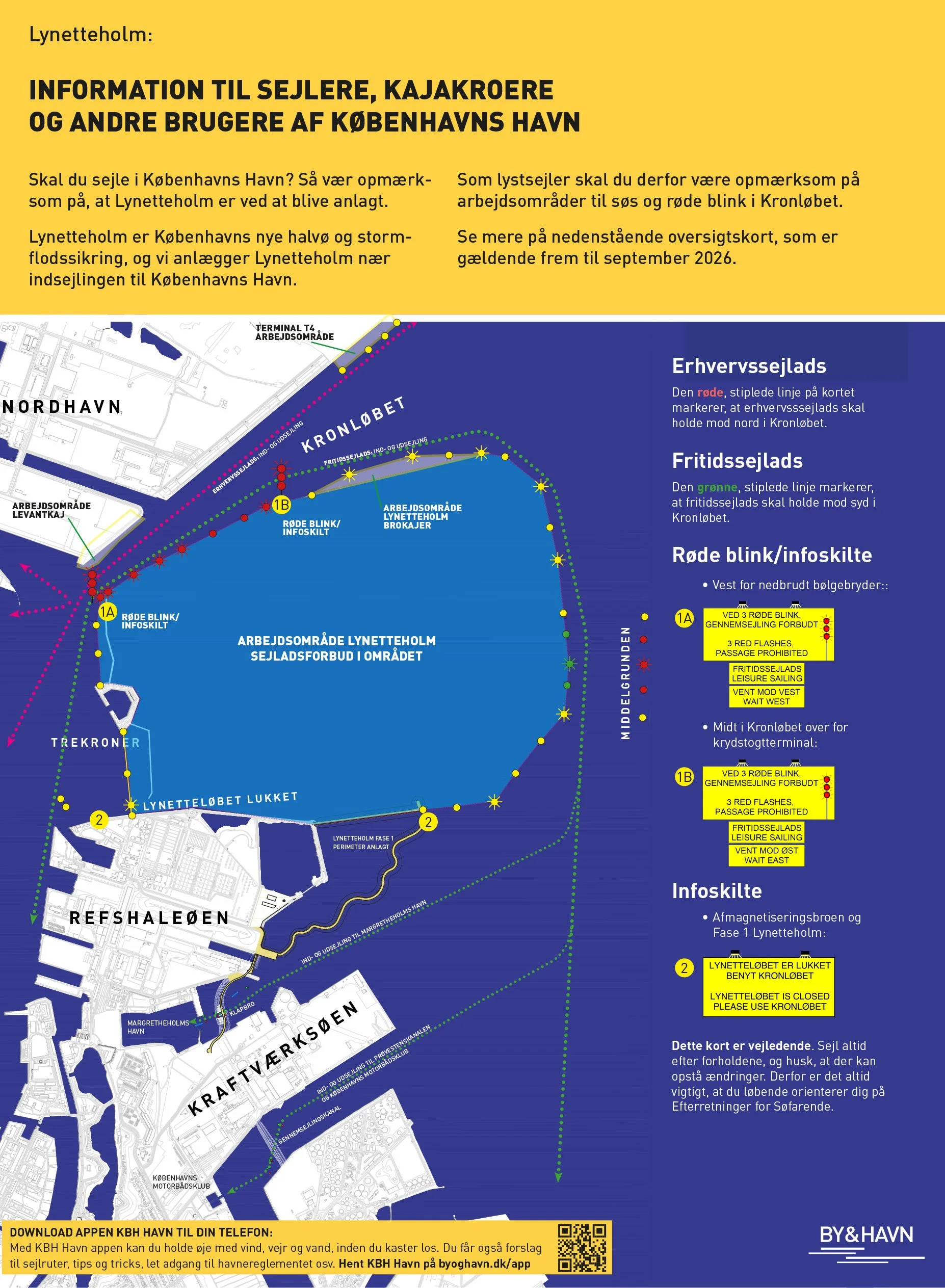
The route will be either clockwise or counterclockwise. The traffic in the Port of Copenhagen is not taken into account, but the current, wind and waves are. Thus, you need to choose a kayak that suits the conditions of the day. In case of a totally inappropriate forecast, we work with alternative routes.
Skrædderholmen - The Break and safety stop
Skrædderholmen is an island in the middle of the Amager Highway. This is where there is a safety stop and a good place to rest. You reach Skrædderholmen after 20 kilometers (if the race is clockwise) or 25 kilometers (if it is counterclockwise). At Skrædderholmen there will be raisin bread, coconut cakes, water and juice. There is no toilet or water supply. Friends and family can come to the island by bike. You HAVE TO stop at Skrædderholmen to do a safety check-in, but you choose for how long you stay.
Around an island - where to go
You can use the smaller channels in Copenhagen, hold as many breaks as you like, go as far into shore or far out to the sea as you want. The only rule is, you need to paddle around the island and adhere to the general rules of the harbour including one way channels ect.
48 kilometer - All the way around
Read more about the route around right here, and see the online breifing that will be on the front page of the homepage 26. july. https://byoghavn.dk/lynetteholm/sikkerhed-for-sejlere/
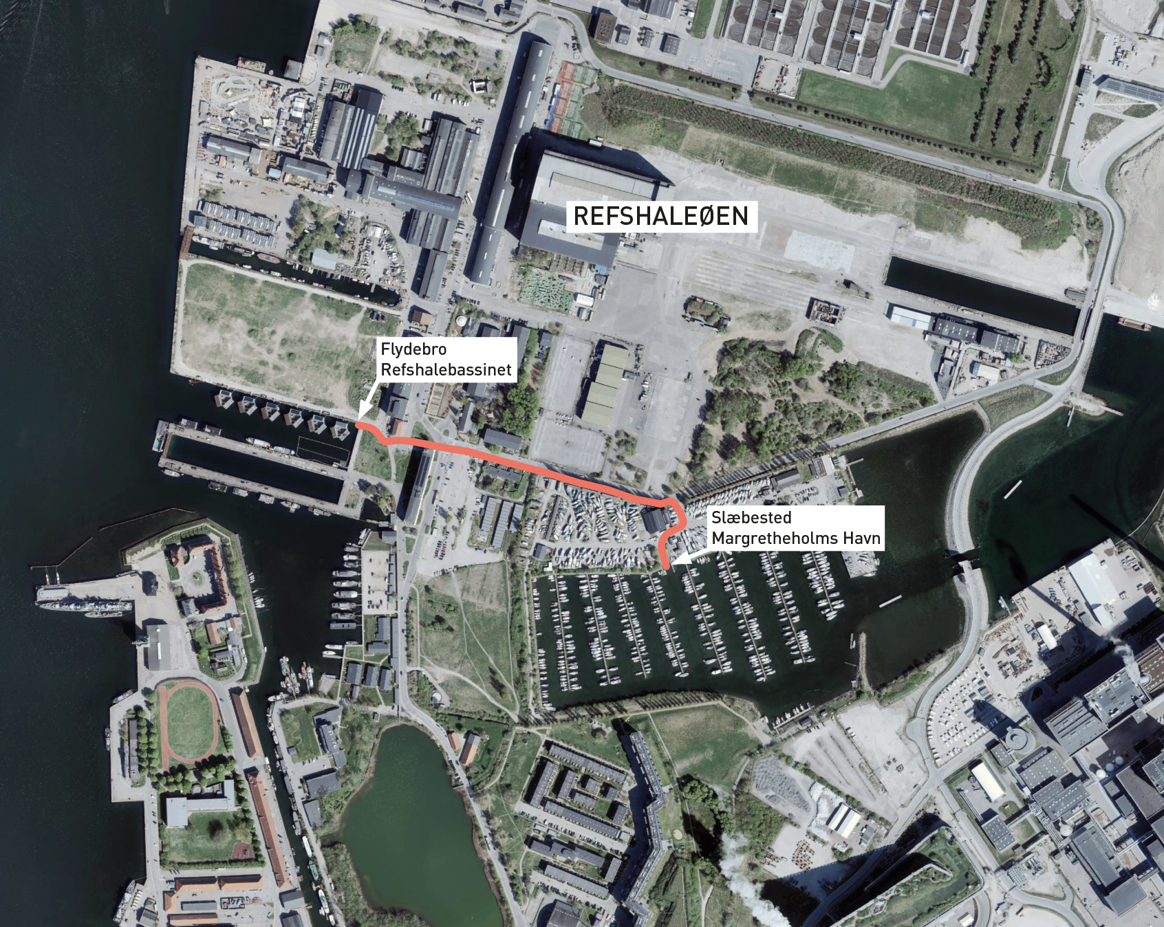
43 kilometer with a 500 meter walk
Read more about the route around right here, and see the online breifing that will be on the front page of the homepage 26. july.
Link to more info about the walk: https://byoghavn.dk/havnen/overbaering-refshaleoen/
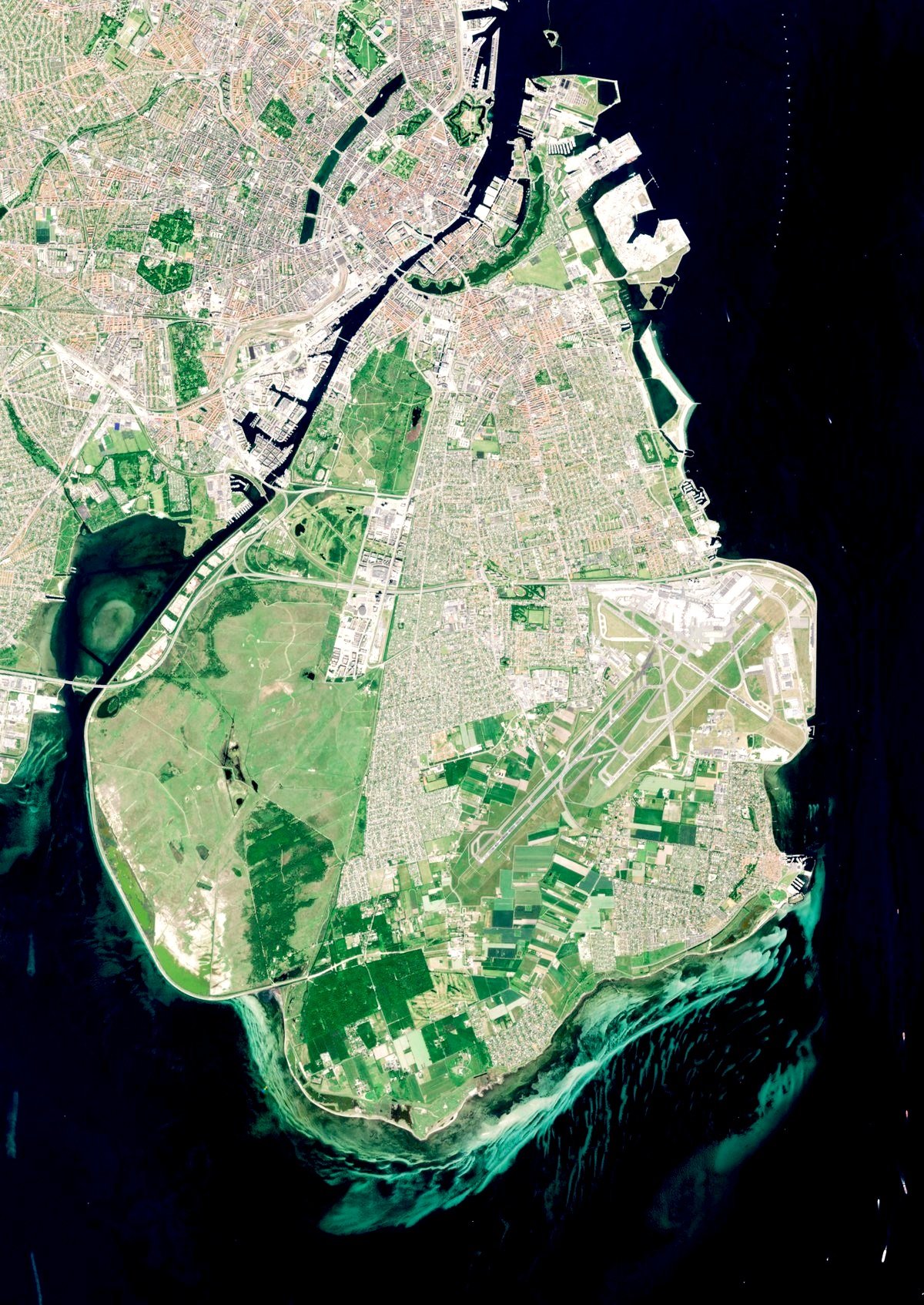
The timelap from 2022.
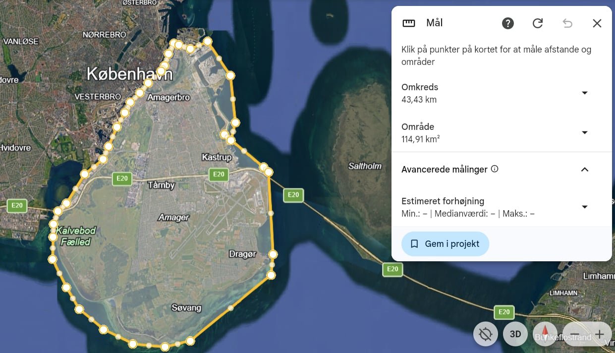
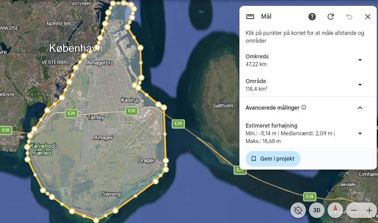
A map where you can see the shallow waters at the southern part of Amager.